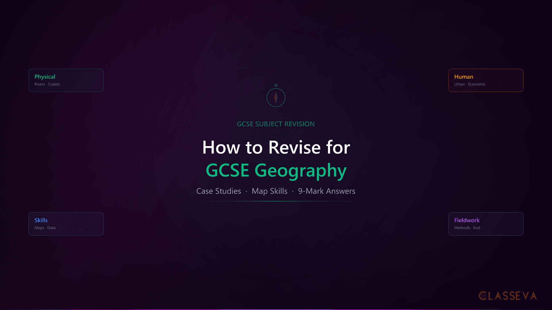
How to Revise for GCSE Geography: Complete Guide
Geography catches students off guard. They treat it like every other subject: read the notes, highlight key terms, hope it sticks. But GCSE Geography is not a single subject. It combines factual knowledge (case studies, processes, definitions) with practical skills (map reading, data interpretation, graph analysis) and fieldwork methodology. Revising only the facts leaves two thirds of the marks on the table.
After years of working with students preparing for their GCSEs, I noticed a clear pattern with Geography specifically. Students who revised it the same way they revised History or English consistently underperformed. The ones who scored highest all did something different: they balanced knowledge revision with skills practice, and they built a bank of case study cards they could pull from under pressure.
This GCSE geography revision guide breaks down exactly how your child should approach the subject, from case study preparation to 9-mark answer structure, with specific techniques for each component.
Why Geography Revision Is Different
Most revision advice is designed for subjects that primarily test factual recall. How to revise GCSE geography requires a fundamentally different approach because the subject tests three distinct skill sets: knowledge of content and case studies, practical skills like map reading and data analysis, and understanding of fieldwork methodology.
Two Subjects in One
Geography is split into physical and human branches, and they feel like completely separate subjects. Physical geography covers natural hazards, tectonic processes, weather and climate, ecosystems, rivers, and coasts. Human geography covers urban issues, the changing economic world, resource management, and globalisation. Most students naturally prefer one branch and struggle with the other.
Physical Geography
- •Natural hazards and tectonic processes
- •Weather, climate, and ecosystems
- •Rivers, coasts, and glacial landscapes
- •Requires process diagrams and sequences
Human Geography
- •Urban issues and challenges
- •Changing economic world and development
- •Resource management and sustainability
- •Requires comparison tables and case studies
The revision mistake I saw repeatedly: students spending 80% of their time on whichever branch they already understood, because it felt productive. The uncomfortable truth is that the branch they avoid is where the biggest mark gains are waiting.
Skills You Cannot Memorise
Unlike History or English, Geography has a significant skills component that cannot be revised by reading. Your child needs to practise reading Ordnance Survey maps, calculating distances from scale bars, interpreting population pyramids, drawing cross-sections from contour lines, and performing basic statistical calculations. These skills appear across all papers and all exam boards, whether AQA, Edexcel, or OCR. Reading about how to use a 6-figure grid reference is not the same as actually doing it under timed conditions.
Geography revision must be split roughly 50/50 between knowledge recall and skills practice. A student who knows every case study but cannot read a contour map will lose marks on every paper. A student who can interpret any graph but has no case study detail will cap their extended answers at grade 5.
Case Studies: The Most Important Thing in GCSE Geography
If your child does one thing differently in their GCSE geography revision, it should be this: build a bank of case studies with specific facts and figures. Case studies are what separate grade 4 answers from grade 8 answers. A student who writes “a developing country was affected by an earthquake” will score far less than one who writes “the 2015 Nepal earthquake, magnitude 7.8, killed over 8,800 people and destroyed 600,000 structures in Kathmandu Valley.”
What Makes a Strong Case Study
Every case study your child learns should include five elements: the location (a specific, named place), key facts (dates, statistics, measurements), causes (why it happened or why it matters), effects (social, economic, and environmental impacts), and responses (what was done, how effective it was).
| Element | Weak Example | Strong Example |
|---|---|---|
| Location | A coast in England | The Holderness coast, East Yorkshire |
| Key facts | It erodes quickly | Loses approximately 2 metres of land per year; 30 villages lost since Roman times |
| Causes | The sea erodes it | Boulder clay cliffs are soft and vulnerable to hydraulic action and abrasion |
| Effects | Houses fall into the sea | Property values dropped 20% in Skipsea; farmland worth £1.9m lost annually |
| Responses | They built sea walls | Mappleton received £2m rock armour in 1991; Hornsea has a concrete sea wall |
The difference between a grade 4 and a grade 8 case study answer.
The Case Study Card Method
The most effective technique I have seen for Geography case studies is the A5 card method. For every case study on the specification, your child creates one card. The front has the case study name and topic. The back has the five elements listed above, written as bullet points with specific numbers.
Start with the specification topic list and identify every named example mentioned in the textbook. Each card should fit on one side of A5, forcing your child to prioritise the most important facts. If it does not fit on one card, they are including too much detail. Carry the cards everywhere. Test on the bus, before bed, during breaks.
The goal is not to memorise paragraphs of text. It is to be able to recall the location name, three or four specific facts, and one or two evaluation points for each case study within 30 seconds. That is all the exam requires. The card method works because it combines active recall with spaced repetition: your child tests themselves from the front of the card, checks against the back, and revisits weak cards more frequently.
How to Revise Physical and Human Geography
Most students have a natural preference. Physical geography appeals to those who like science and processes. Human geography appeals to those who like social issues and debate. The problem is that both branches carry equal weight in the exam, so your child cannot afford to neglect either.
The approach I recommend: spend 60% of revision time on the weaker branch and 40% on the stronger one. This feels counterintuitive because revising the weaker branch is uncomfortable. But the marks gained by improving a grade 4 topic to a grade 6 are far greater than pushing a grade 7 topic to a grade 8.
Dual Coding for Physical Processes
Physical geography is inherently visual. Every process (erosion, deposition, formation of waterfalls, longshore drift, plate tectonics) has a sequence that can be drawn as a diagram. Dual coding means combining written notes with visual diagrams, and for Geography it is the single most effective revision technique available.
The method: after reading about a process, your child closes the textbook and draws the diagram from memory. Then they open the book, check what they missed, and draw it again. This is more powerful than re-reading because it forces retrieval, reveals gaps immediately, and creates a visual memory that is easier to recall under exam conditions.
Geography processes worth drawing from memory: the water cycle, formation of a waterfall, formation of an ox-bow lake, longshore drift, wave-cut platform formation, plate boundary types (constructive, destructive, conservative), formation of a volcano, the urban model (Burgess or Hoyt), and the demographic transition model. If your child can draw and label each of these without looking, they are in a strong position for the exam.
Comparison Tables for Human Geography
Human geography questions often ask students to compare: HICs vs LICs, urban vs rural, sustainable vs unsustainable. Building comparison tables during revision prepares your child for exactly the kind of structured thinking the exam rewards.
| Factor | HIC Earthquake (e.g. Japan, 2011) | LIC Earthquake (e.g. Nepal, 2015) |
|---|---|---|
| Magnitude | 9.0 (Tohoku) | 7.8 (Gorkha) |
| Deaths | ~18,500 (mostly tsunami) | ~8,800 |
| Buildings | Earthquake-resistant designs limited collapse | 600,000+ structures destroyed in Kathmandu |
| Response | Organised evacuation; search and rescue within hours | International aid delayed; remote villages cut off for days |
| Recovery | Rebuilding began within weeks; insurance coverage high | Years to rebuild; many families still in temporary shelters by 2017 |
Comparing earthquake impacts in HICs and LICs. This type of structured comparison directly prepares students for 9-mark questions.
Your child should build comparison tables like this for every major topic that involves contrasts. The act of creating the table is itself powerful revision: it forces them to identify the key differences and recall specific facts for each side.
Map Skills and Data Interpretation
Map skills and data interpretation questions appear on every GCSE Geography paper, regardless of exam board. These marks are often the easiest to gain with practice, yet many students barely revise them because they do not feel like “real Geography.” That is a costly mistake. On AQA papers, geographical skills (including map work) account for approximately 20% of all marks.
What Map Skills Are Tested
| Skill | What It Tests | How to Practise |
|---|---|---|
| 4-figure grid references | Locating a 1km grid square on an OS map | Use sample OS maps and find 10 features by grid reference |
| 6-figure grid references | Pinpointing a specific location within a square | Give your child coordinates; they find what is there |
| Contour lines | Identifying hills, valleys, cliffs, and slopes | Draw cross-sections from contour maps |
| Scale and distance | Measuring straight-line and winding distances | Measure 10 routes on a map, convert using scale |
| Map symbols | Identifying human and physical features | Cover the key; identify symbols from memory |
| Cross-sections | Drawing a relief profile between two points | Practise plotting elevation from contour data on graph paper |
OS map skills tested in GCSE Geography. Each skill requires practice, not just reading about it.
The best way to practise is to download past papers from your exam board and work through every map-based question. Free Ordnance Survey maps are also available online. Spend 15 minutes per revision session on map skills alone, and your child will find these questions become some of the quickest marks on the paper.
The statistical skills tested in GCSE Geography overlap significantly with GCSE Maths. Your child needs to calculate mean, median, mode, range, and percentages. If they are revising both subjects, practise these skills once and apply them to both. A student confident in basic statistics will find Geography data interpretation questions straightforward.
Practising Exam Questions by Type
GCSE Geography uses specific question formats, and each one rewards a different approach. The biggest GCSE geography revision tip I can give is this: do not treat all questions the same. A 1-mark question needs a single fact. A 9-mark question needs a structured argument with case study evidence and a conclusion. Students who understand the difference between these formats consistently outperform those who do not, even with the same knowledge base.
| Marks | Command Words | What Examiners Want | Example |
|---|---|---|---|
| 1-2 | Define, State, Name | Brief factual recall. One or two sentences maximum. | Define the term "urbanisation." (1 mark) |
| 4 | Describe, Explain | Developed points with specific detail. Two clear points, each with extension. | Explain two effects of deforestation. (4 marks) |
| 6 | Explain with case study | Named real-world example with specific facts, dates, and statistics. | Using a named example, explain how coastal management reduces erosion. (6 marks) |
| 9 | Evaluate, Assess, Discuss, To what extent | Extended writing with both sides, case study evidence, and a justified conclusion. | Evaluate the effectiveness of flood management strategies. (9 marks) |
The 9-mark questions carry the most marks and require the most preparation. They are where grades are won or lost.
The 9-Mark Question Structure
The 9-mark extended writing question is the most valuable question type on any Geography paper, and most students lose marks not because they lack knowledge, but because they do not structure their answer. Mark schemes consistently reward the same format:
Your child should practise writing 9-mark answers under timed conditions (approximately 12 minutes per answer). Start untimed to learn the structure, then gradually reduce the time allowed. The past papers guide explains how to build a systematic practice routine around these questions.
Students write everything they know about a topic instead of answering the specific question. If the question asks “Evaluate the effectiveness of coastal management,” the answer must evaluate effectiveness, not simply describe management strategies. Read the command word carefully: evaluate means weigh up strengths and weaknesses with a final judgement.
Fieldwork Preparation
Fieldwork questions catch students off guard because the investigations were completed months (sometimes over a year) before the exam. But these questions appear on every GCSE Geography paper, and the marks are accessible for anyone who has revised the methodology. Your child completed two investigations: one physical geography fieldwork and one human geography fieldwork.
What Examiners Ask About Fieldwork
Fieldwork questions do not ask your child to reproduce their results. They test understanding of methodology: why decisions were made, how data was collected, what the limitations were, and how the investigation could be improved. This is good news, because it means your child does not need perfect recall of every data point. They need to understand the process.
Recall the aim and hypothesis
What was the investigation trying to find out? What did your child predict before collecting data? Write these from memory first, then check.
Know the data collection methods
What equipment was used? How were measurements taken? For physical fieldwork, this might include flow meters, ranging poles, and tape measures. For human fieldwork, questionnaires or environmental quality surveys.
Understand sampling techniques
Was it random, systematic, or stratified sampling? Why was that method chosen? What are the advantages and limitations of the approach used?
Review data presentation
How was data presented? Bar charts, scatter graphs, maps, tables? Why was each method chosen? Could a different method have been more effective?
Prepare the evaluation
What were the main conclusions? Were they supported by the data? What were the limitations of the study? How could accuracy and reliability be improved?
If your child's school provided fieldwork booklets or write-ups, these are the single most useful revision resource for fieldwork questions. Read through them, then close the booklet and write a one-page summary of each investigation covering: aim, methods, sampling, results, and evaluation. Check against the original. Repeat until accurate.
How Parents Can Help with Geography Revision
Geography is one of the subjects where parents can make a genuine difference, even without any subject expertise. The case study method relies on recall practice, map skills need a practice partner, and the news is full of geography-relevant events.
Six Practical Ways to Support Your Child
Quiz them on case study cards
Read the front of the card (topic and location name) and ask your child to recall the key facts, causes, effects, and responses from memory. You do not need to know Geography to check their answer against the back of the card.
Watch geography documentaries together
BBC Earth, Planet Earth, and Blue Planet bring physical geography topics to life. Watching a 30-minute episode on coastal erosion or tropical rainforests creates visual memories that reinforce textbook knowledge. Ask your child to spot connections to their specification.
Discuss the news through a geography lens
Flooding, earthquakes, urban development, climate change, and migration are all directly exam-relevant. When these appear in the news, ask: "How does this connect to your Geography?" This builds the habit of applying geographical thinking to real events, which is exactly what 9-mark questions reward.
Practise OS map skills together
Free Ordnance Survey maps are available online. Sit together and ask your child to find grid references, identify features, and measure distances. Making this a shared activity removes the isolation of solo revision and turns a dry skill into a practical exercise.
Download past papers and mark schemes
Past papers are freely available from AQA, Edexcel, and OCR websites. The mark scheme is as important as the paper itself: it shows exactly what earns marks. Read the mark scheme together after your child completes a paper to see what examiners actually reward.
Support maths skills if needed
Graph interpretation, percentage calculations, mean, median, and mode all appear in Geography exams. If your child struggles with these, practise them separately. A student confident in basic maths will find Geography data questions straightforward and quick to complete.
One final observation from my time working with families: the parents who made the biggest impact were not the ones who understood the subject best. They were the ones who understood the exam structure. Knowing that the most effective revision techniques are active, not passive, and understanding that a structured revision timetable prevents last-minute cramming, makes a real difference. You do not need to teach your child Geography. You need to help them revise it effectively.
Instead of asking “Have you revised Geography?”, ask: “Can you tell me three facts about your Holderness coast case study?”The first question gets a vague “yes.” The second reveals exactly where your child stands and turns a passive check-in into an active recall exercise. Adapt this to whatever case study they are currently learning.
GCSE Geography rewards students who balance knowledge with skills, who prepare specific case studies rather than vague generalisations, and who understand the different demands of each question type. With the case study card method, regular map skills practice, and systematic past paper work, your child can approach the exam with genuine confidence. If you need additional support, tools like the best revision resources for 2026guide covers subject-specific recommendations, and Classeva's AI tutoring can walk your child through any Geography topic on their specification, from tectonic hazards to urban regeneration, whenever they need it.